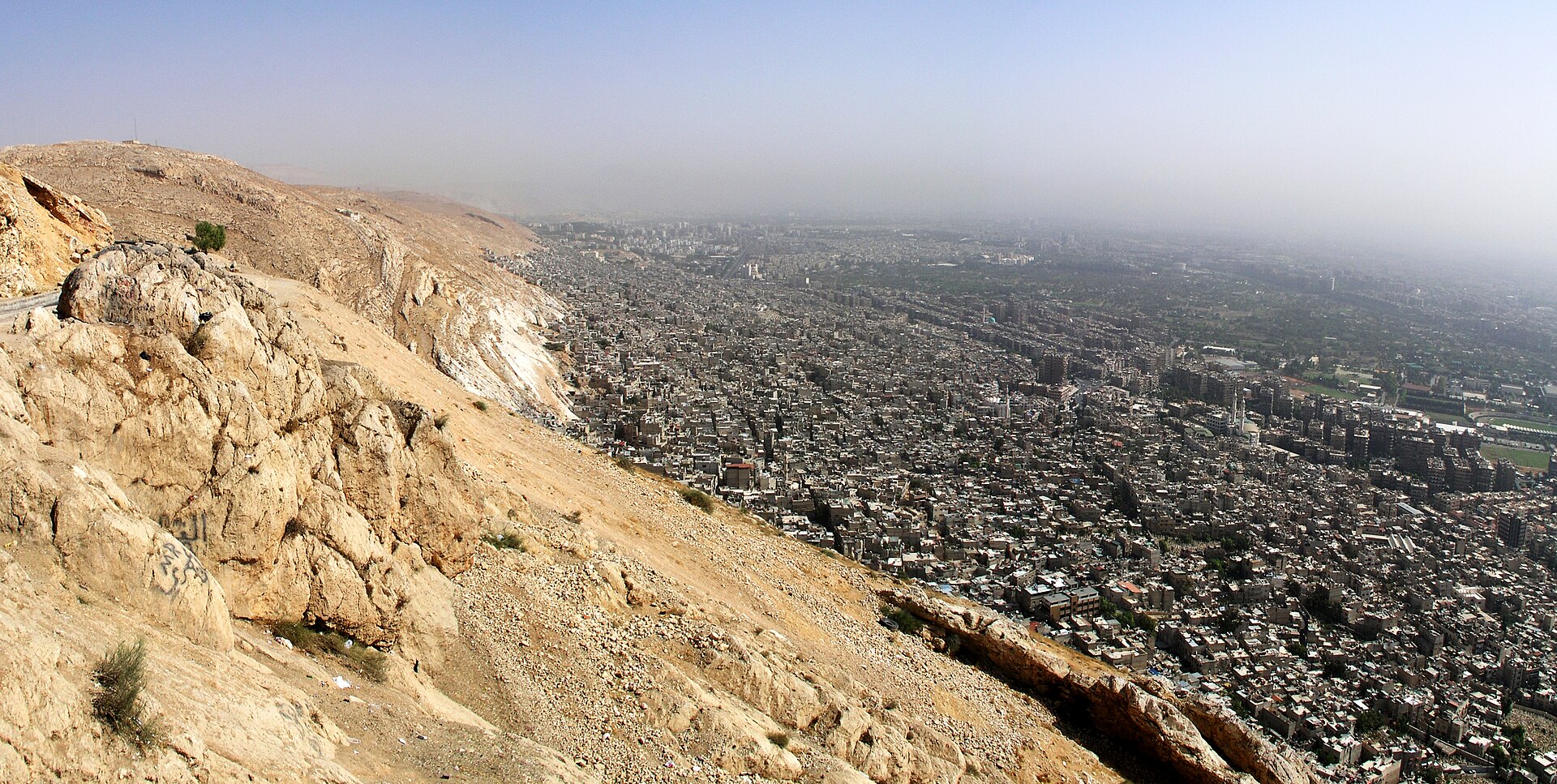
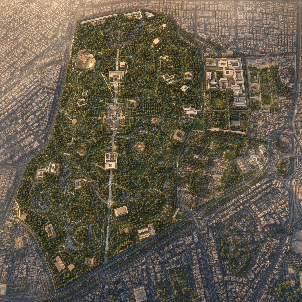
Keturah Al Adawi Park sits on one of the last large green parcels of northern Damascus — below Mount Qasioun, on the historic edge of the Ghouta oasis. This report reads the site through its history, its culture, its city and its numbers, and sets out what it can become.
33.5375°N · 36.3189°EBelow Mount QasiounGhouta orchard edgeFaculty of Agriculture, Damascus University
01 Overview
Not a generic park — a re-grounding of the city of gardens
This is not a "parks are good" document. Al Adawi Park occupies a real, dense, historically layered corner of Damascus, and its value rests on three site facts that recur throughout this study.
i.
A last large green core
It is one of the last big contiguous green / agricultural parcels inside the northern city, in a metropolis whose green belt has collapsed from thousands of hectares to a few hundred.
ii.
Wrapped by young neighbourhoods
It is surrounded by old, mixed, walkable districts — Rukn al-Din, Abu Jarash, Mazraa — with a young population and very few quality public spaces.
iii.
On the Ghouta edge
It lies below Mount Qasioun on the historic edge of the Ghouta oasis — the exact landscape that gave Damascus its identity as a "city of gardens."
design-day peak visitors the park is modelled to hold
Provisional
0
modelled annual visits at maturity
Provisional
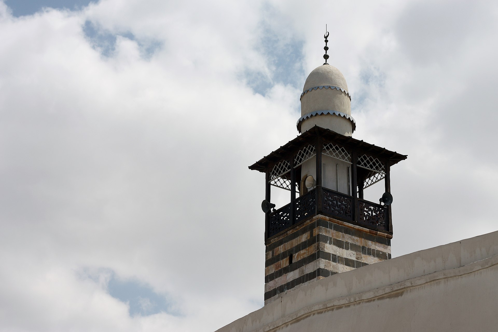
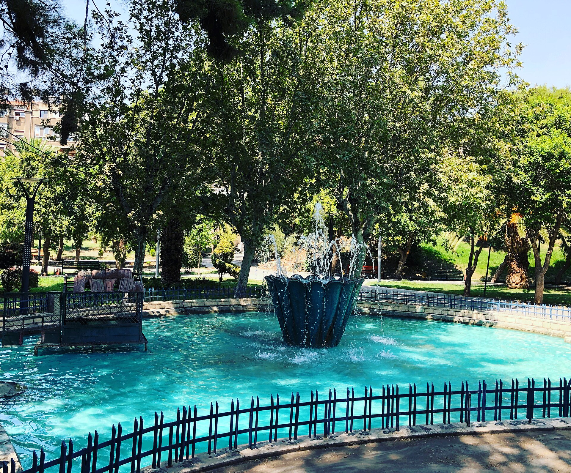
A Damascene minaret above the old city Minaret damascène · CC BY 3.0 / WikimediaAl-Jahiz Park — what little green public room the city keeps Al-Jahiz Park · CC BY-SA 4.0 / Wikimedia
Every finding below is read against five questions — what does it mean for the park, for the Al Adawi area, for Damascus, for Syria's future public realm, and what still needs validation? Claims are tagged VerifiedOSM-derivedCalculatedTo be validated / assumption.
02 History
One of the oldest inhabited cities on earth
Damascus vies for the title of the world's oldest continuously inhabited capital. That deep time is the backdrop the park inherits — it does not invent a green Damascus, it rejoins a story already thousands of years long.
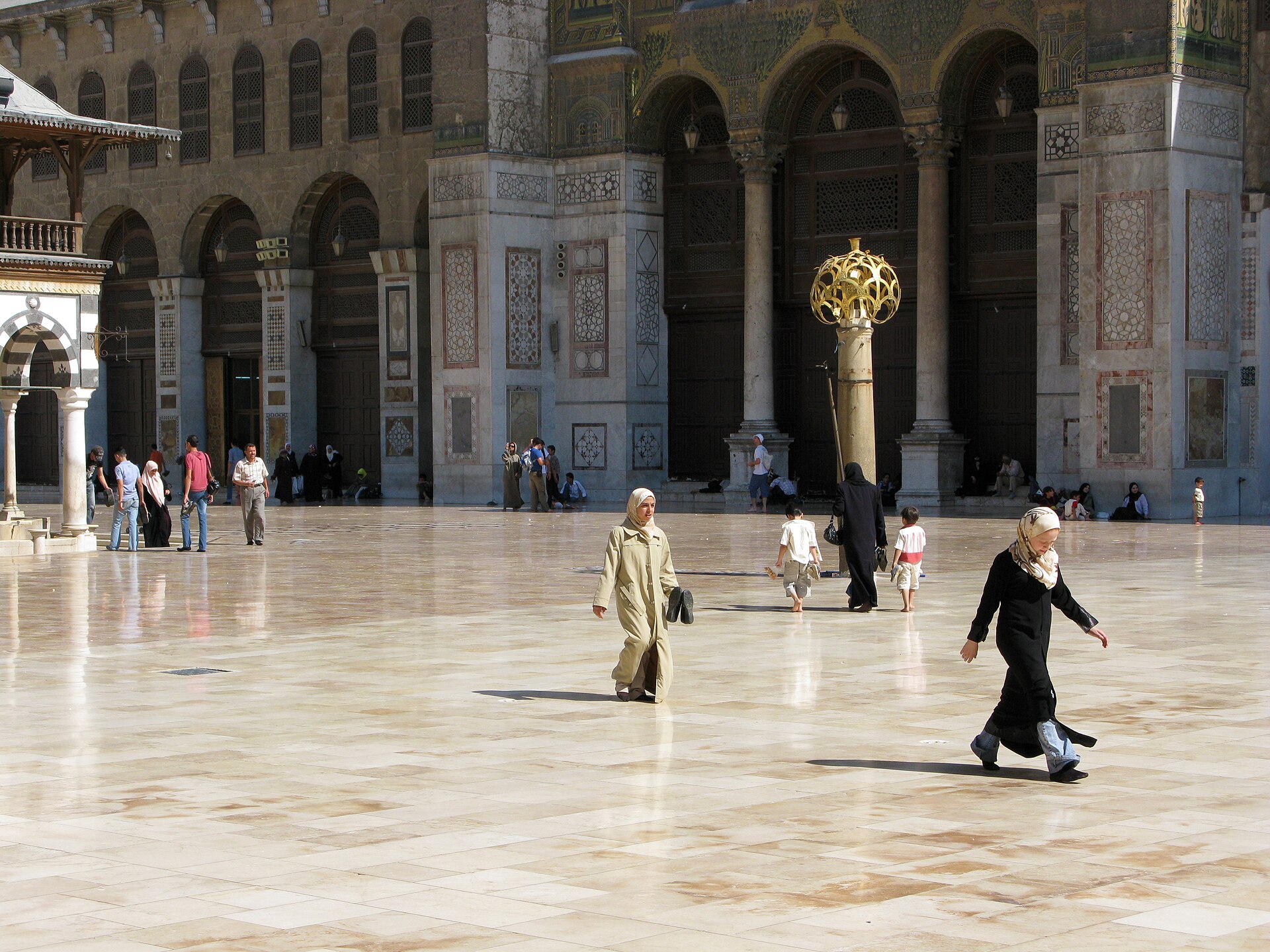
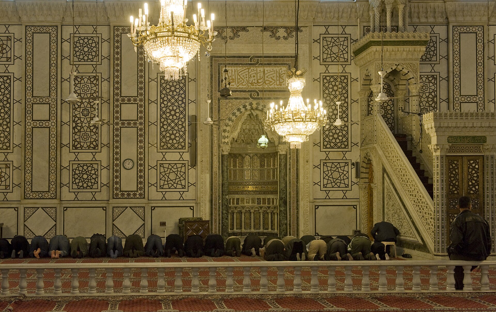
The Umayyad Mosque courtyard, completed 705 CE CC BY 4.0 / WikimediaInside the Umayyad Mosque — the gilded mihrab and inlaid minbar CC BY-SA 4.0 / Wikimedia
c. 10,000 – 8,000 BC
First traces of settlement
Excavations at Tell Ramad on the city's outskirts show habitation reaching back some ten thousand years — among the earliest anywhere.
3rd millennium BC
The city is founded
Damascus is first firmly settled as a city, ringed even then by the Ghouta — an irrigated oasis of orchards fed by the Barada river.
Roman era
The Via Recta — "Straight Street"
The east–west decumanus of Roman Damascus ran over 1,500 m across the city — the "street called Straight" of Acts 9:11, still legible in today's Old City.
661 – 750 CE
Capital of the Umayyad Caliphate
Damascus becomes the seat of an empire stretching from Iberia to Central Asia — the high-water mark of the city's political history.
705 CE
The Great Umayyad Mosque
Caliph al-Walid I builds the Great Mosque on a site sacred since Assyrian times, fusing ancient, Byzantine and Syrian traditions into a new architectural language.
1979
A UNESCO World Heritage Site
The Ancient City of Damascus is inscribed on the World Heritage List, holding some 125 monuments from every period of its history.
Al Adawi Park does not import a landscape. It re-grounds one that Damascus has carried for four thousand years.
— The report's central premise
03 Culture
Eight cultural foundations — and their translation into the park
Each theme below is a living Damascene tradition read directly into landscape. These are design interpretations, to be reviewed by Syrian heritage consultants — never presented as authenticated ruling.
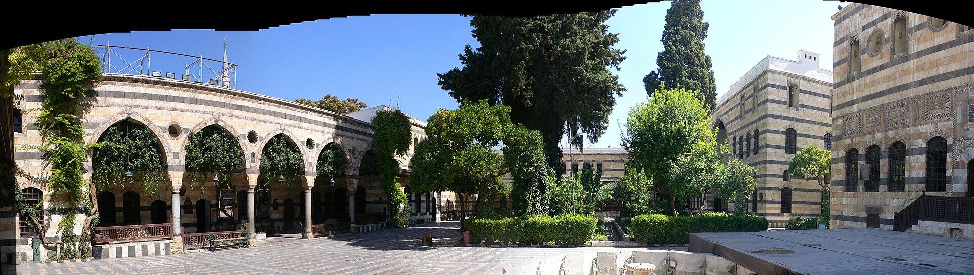
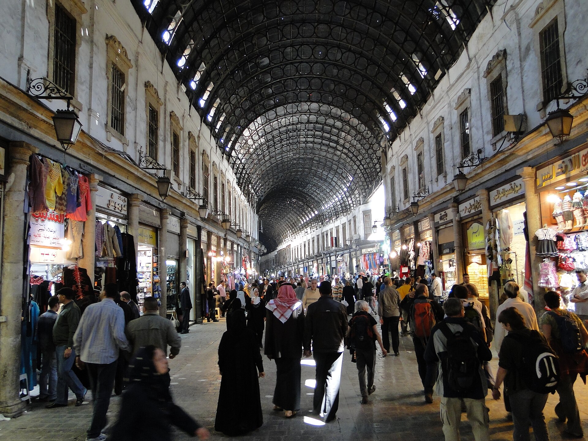
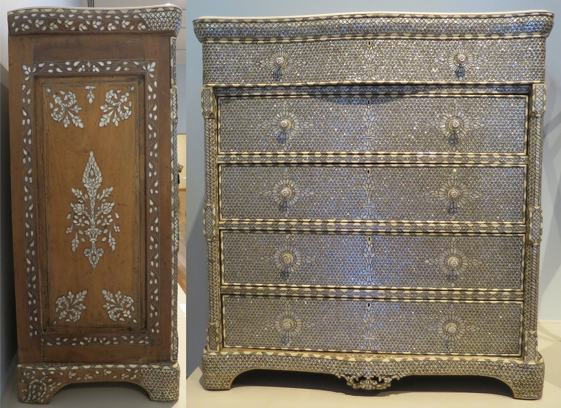
The bayt Dimashqi — courtyard, fountain, citrus Azm-era court · CC BY-SA 3.0Al-Hamidiyah Souq — shaded, social, commercial CC BY-SA 3.0 / WikimediaDamascene mother-of-pearl inlay, 19th c. CC0 / Wikimedia
A1
The city of gardens (Ghouta)
Damascus's identity is inseparable from the Ghouta oasis and courtyard-garden life.
In the park: the spine as a re-made oasis walk — olive, citrus and pomegranate "rooms."
Confidence: Verified (garden-culture scholarship); agronomy to be validated.
A2
The Damascene courtyard
The inward house around a fountain, citrus and jasmine — cooling, quiet, shared; an "architecture of calm."
In the park: enclosed garden courts with central bahra fountains, buffered by planting.
Confidence: Verified.
A3
Souq & shaded pedestrian life
Covered souqs made walking cool, social and commercial at once.
In the park: shaded market colonnades for a Syrian craft market and food weekends.
Confidence: Verified.
A4
Water, fountains & cooling
Moving water as comfort and beauty — the Damascene answer to heat.
In the park: recirculating rills and mirror pools, well-fed, near-zero-import.
Confidence: Verified tradition; well yield to be validated.
A5
Craft & material culture
Limestone and basalt, brass, olive and walnut timber, mosaic, tadelakt, calligraphy, Umayyad geometry.
In the park: a documented Syrian material palette for every built element — spend that supports surviving trades.
Confidence: Verified.
A6
Planting identity
Olive, jasmine, fig, citrus, pomegranate, cypress and drought-tolerant aromatics.
In the park: heritage-interpretive, low-water planting rooms that double as infrastructure.
Confidence: Verified culturally; agronomy to be validated.
A7
Gathering & intergenerational life
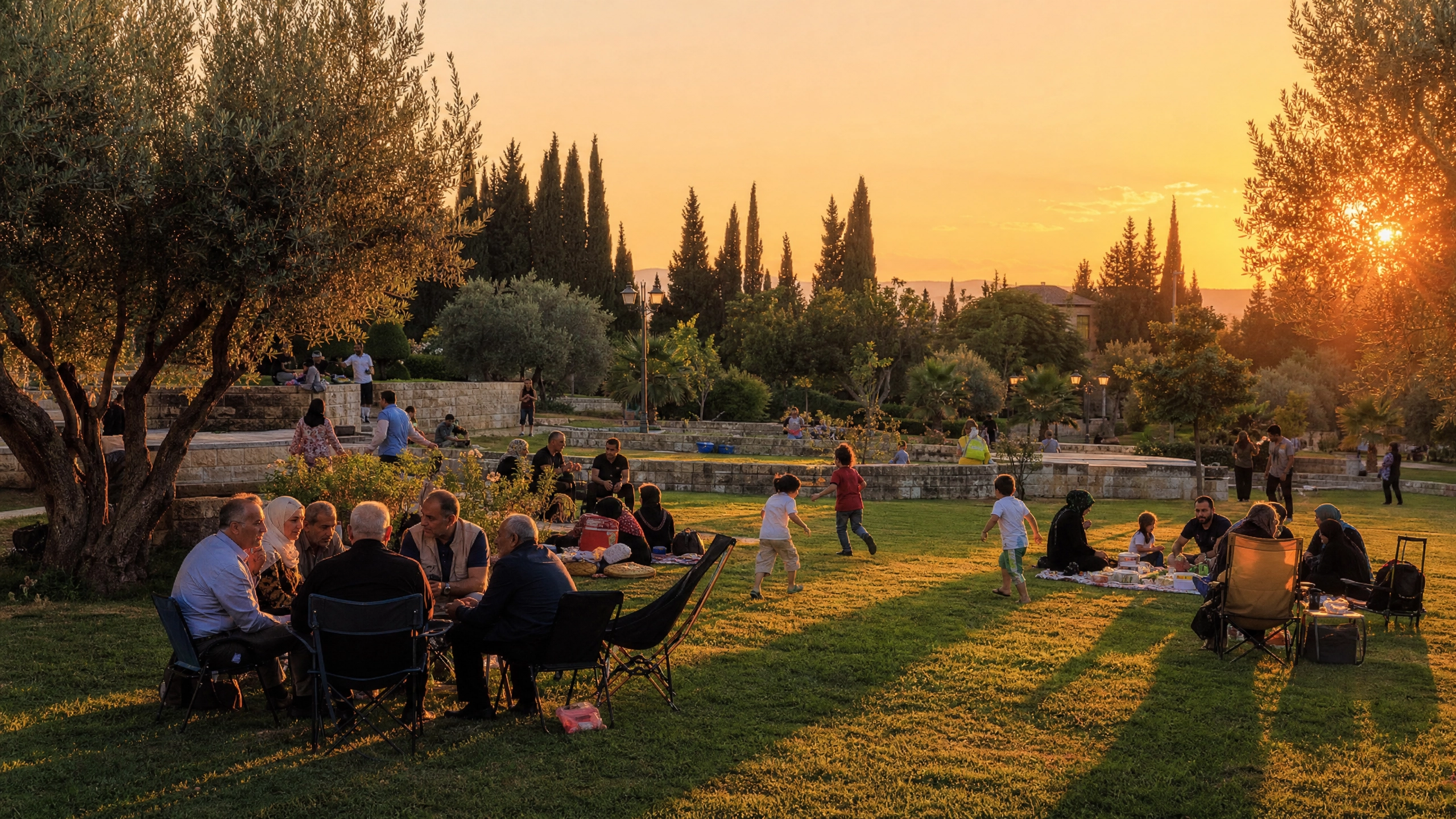
The Syrian extended family gathers outdoors — food, evening promenades, festivals.
In the park: flexible lawns, family picnic terraces, lit evening promenades, festival grounds.
Confidence: Verified social pattern.
A8
Poetry, storytelling & scholarship
Damascus's deep tradition of poetry, oral history and learning.
In the park: poetry-under-the-trees evenings, storytelling gardens, university-linked learning days.
Confidence: Verified.
The signature idea
A Museum Without Walls
The story of Syria should not live only behind glass. Across the park, heritage becomes part of everyday life — walked through shaded trails, craft pavilions, storytelling gardens, cultural markets and open-air exhibitions. Eight cultural chapters, one continuous journey.
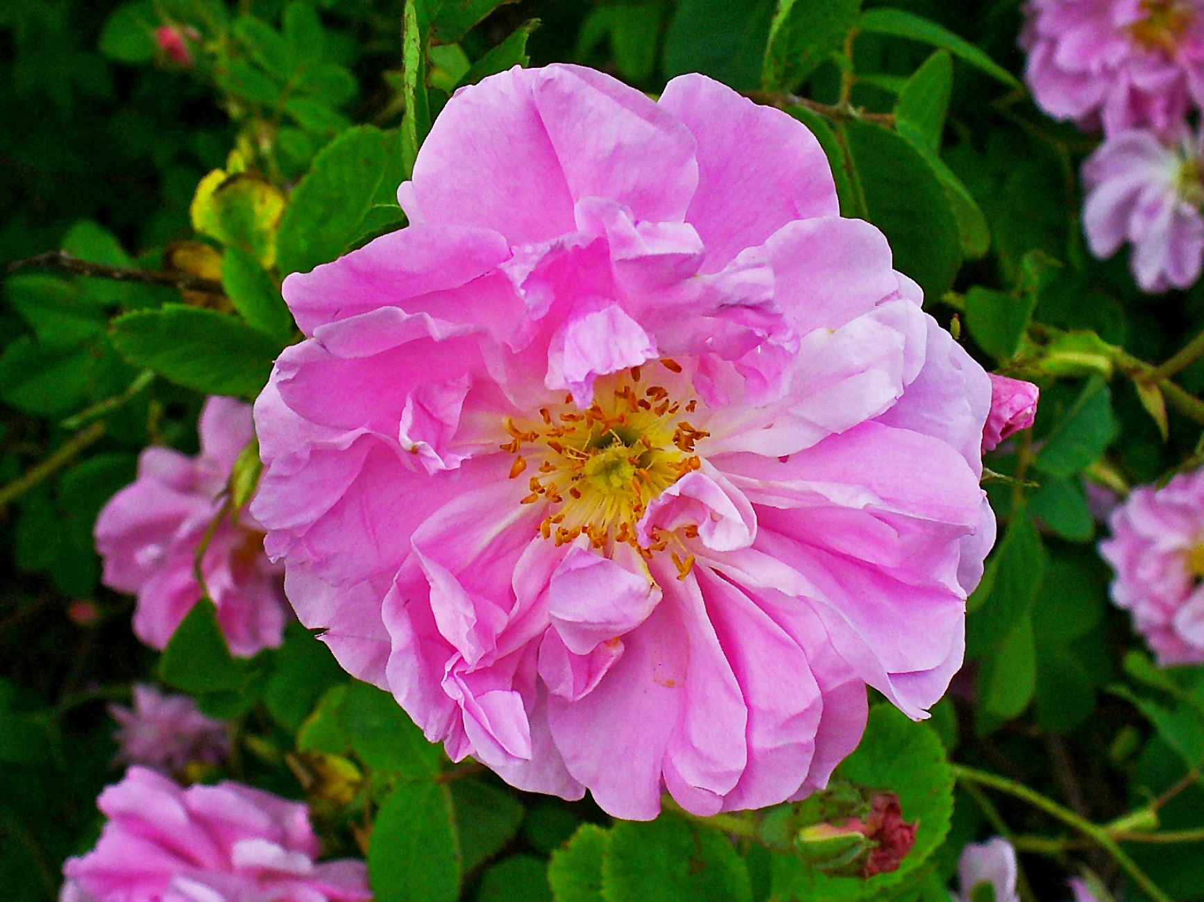
The Damask rose, Rosa damascena — a plant that carries the city's name CC BY-SA 3.0 / Wikimedia
04 Keturah Stone
The house's own stone — eleven marbles for the park's signature moments
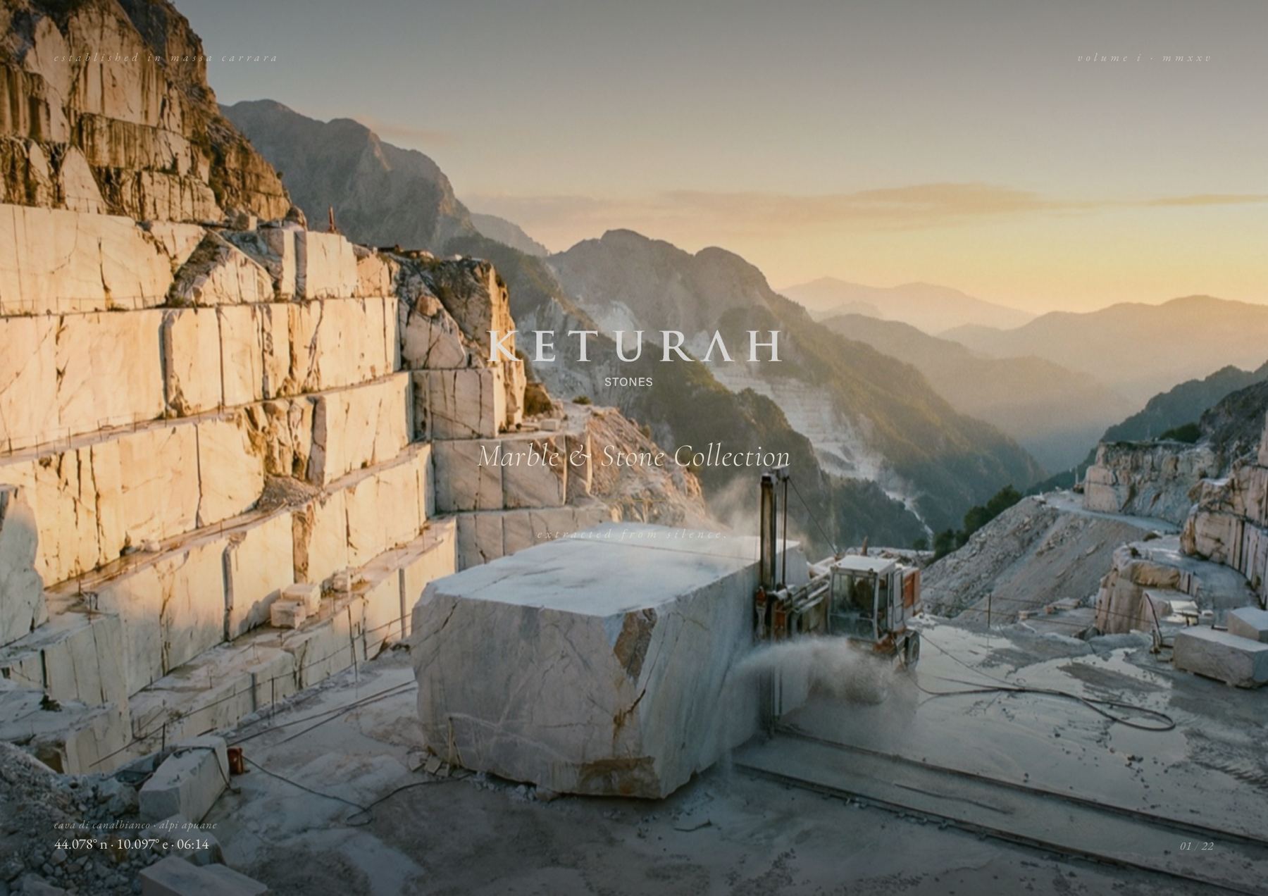
Keturah quarries its own material. Keturah Stones, Volume I (2025) documents eleven marbles drawn from two Italian Alpine quarries — Cava Coltelli in Massa Carrara and Monte Santa Croce above La Spezia — allocated, never stocked. In the park they are the signature layer: thresholds, inscription walls and water edges set against the Damascene body of local limestone, basalt and timber already specified in the material palette.
Cava di Canalbianco, Alpi Apuane — 44.078°N 10.097°E, 06:14 Keturah Stones, Vol. I · MMXXV
The collection — whites, greys, blacks & gold
The Whites
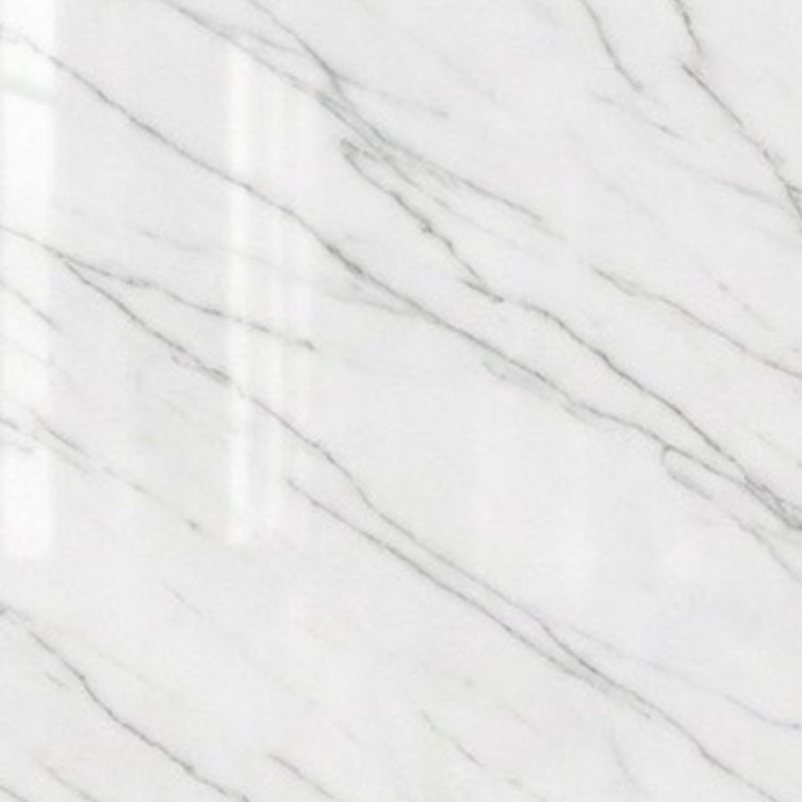
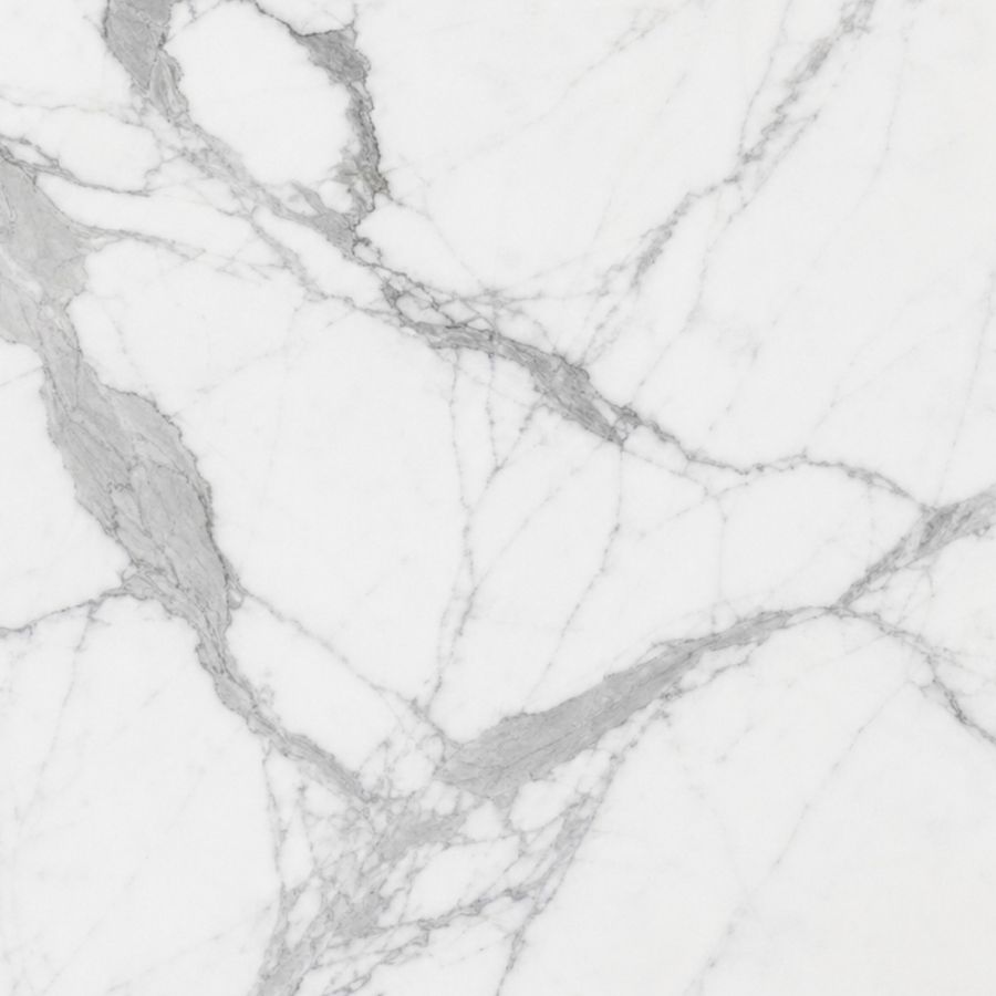
Bianco Carrara
The founding stone — quarried since Roman antiquity; Cava Coltelli at 1,200 m.
The white reference — the grade chosen for the Pietà in 1499.
The Whites
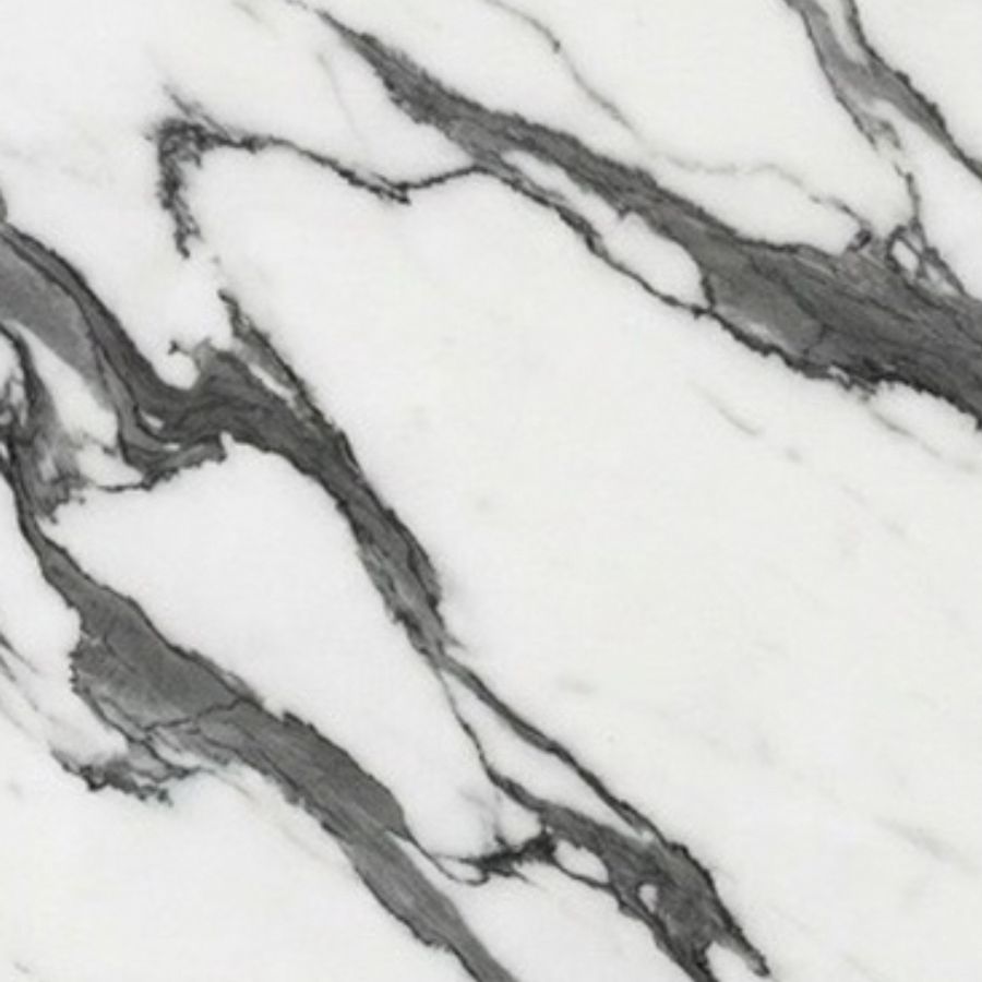
Statuarietto
Monte Altissimo, quarried since 1821 — strongest of the whites.
The Greys
Bardiglio Chiaro
Pearl grey, almost liquid — the classic partner of white.
The Greys
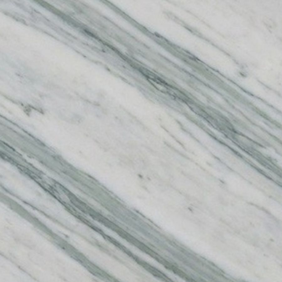
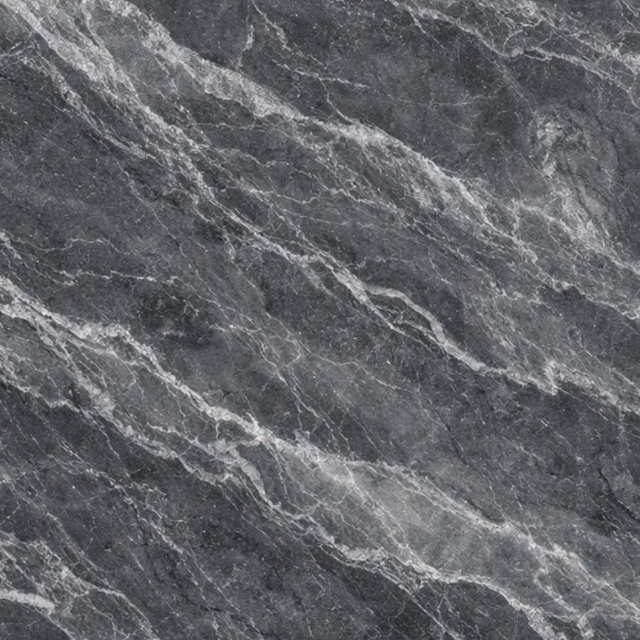
Bardiglio Scuro
Slate grey cut with white — dense, hard, made for high traffic.
The Greys
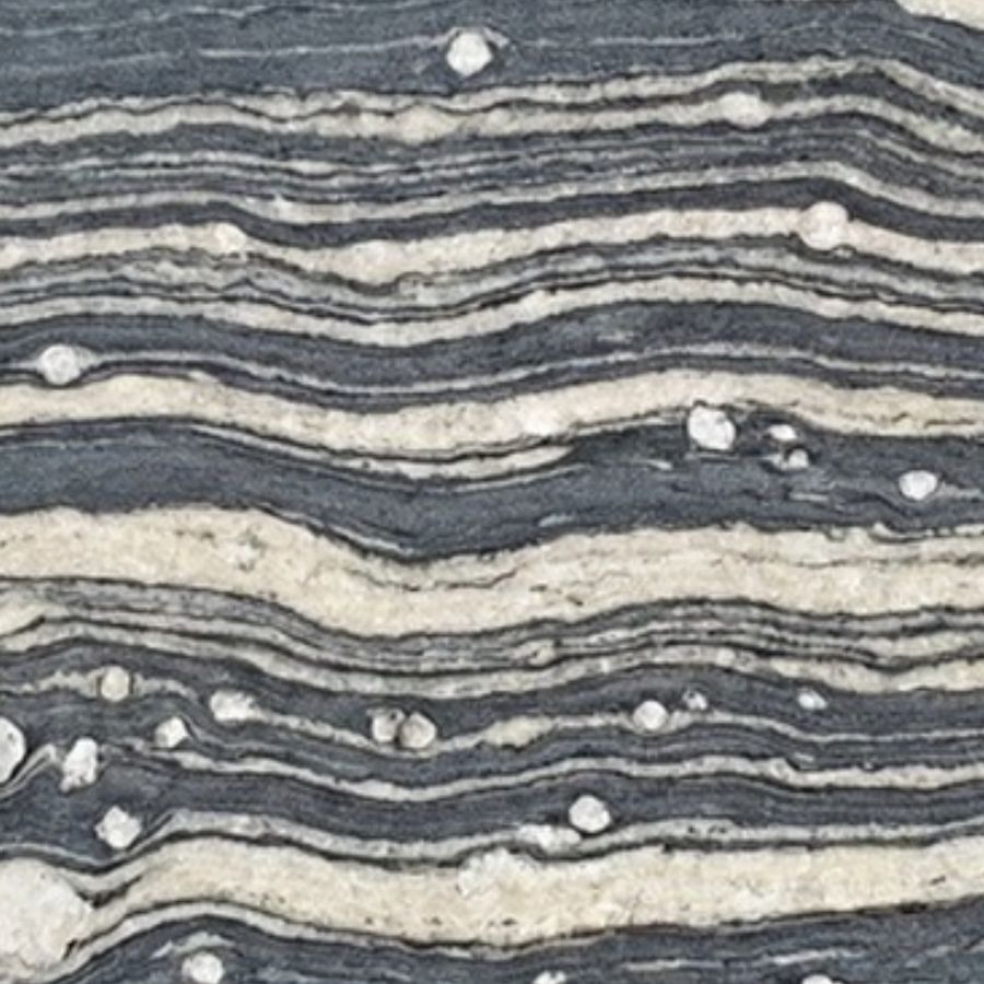
Schist
Two hundred million years, written in layers — selected blocks.
Blacks & Gold
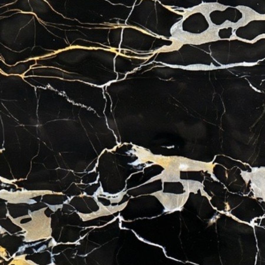
Portoro Extra Gold
Jet black, threaded with gold — among the rarest stones on earth.
Blacks & Gold
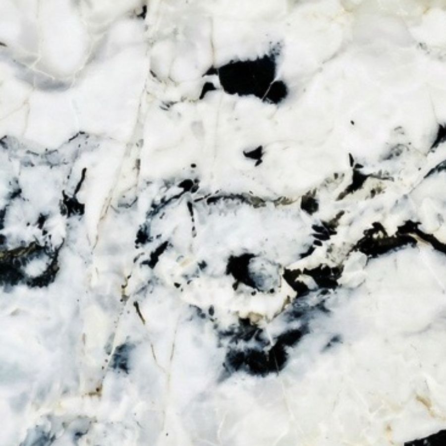
Portoro Bianco
Pure contrast at the vein's edge — two blocks a year.
Blacks & Gold
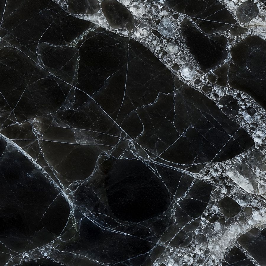
Portoro Ice
Silver light in ancient darkness — the deeper quarry layers.
The rule
One stone per room
The house's discipline — each park moment is given a single stone, never a mixture.
Where the stone works in the park
Marble in an open park is used with judgement, not abundance. The catalogue's own exterior finishes — sandblasted (open-pore, anti-slip, terraces) and flamed (rough, outdoor slabs) — define where each stone may live outdoors; the Damascene body of the park remains local limestone, basalt and timber.
Entrance thresholds
The seven gates each receive a single-stone threshold band — Bianco Carrara, sandblasted — the visitor's first touch of the house's stone.
Inscription & landmark walls
Portoro Extra Gold panels, honed, for the park's dedication wall and the Museum-Without-Walls chapter markers — black and gold against jasmine.
Seating & garden edges
Bardiglio Scuro, brushed — the hard grey that takes daily use; benches and low garden borders along the shaded loop.
Water edges & fountain rims
Bardiglio Chiaro coping on the courtyard bahra fountains and rills — the grey that reads almost liquid beside moving water.
Amphitheatre steps
Statuarietto treads, sandblasted — the strongest of the whites where crowds gather for evenings and festivals.
Wayfinding markers
Schist monoliths at path junctions — the stone whose layered strata make every marker one of a kind.
Formats, finishes & provenance
Slabs to 320 × 180 cm; tiles from 120 × 120 down to 5 × 5 mosaic. Six finishes from polished to flamed, each assigned to its correct use. Blocks are certified at the face, cut in Massa Carrara, and crated with chain of custody to the responsible architect — allocated, never stocked.
House: Keturah Swiss SA, Lugano · Keturah Stones S.r.l., Massa (MS), Italy
Quarries: Cava Coltelli, Massa Carrara · Monte Santa Croce, La Spezia
Travertine:Roman Travertine leads the house palette in the Keturah Studio design reference (with Statuario, oak, walnut, brass, bronze, tadelakt, linen) — it is not yet in Stones Catalogue Vol. I. Verified — brand palettePark quarry allocation to be confirmed
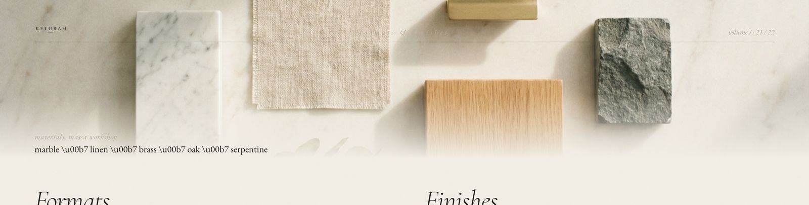
The material chord — marble · linen · brass · oak · serpentine Keturah Stones, Vol. I
05 Urban Context
A hot-dry climate and a vanishing green belt
Two forces shape the brief: a climate that makes shade a precondition for use, and a green belt that has collapsed to a fraction of its former self. Both turn a large retained green parcel from a nicety into infrastructure.
Climate as the design driver
Damascus runs hot-dry summers and cool-wet winters. July–August average about 28 °C with heatwaves past 40 °C; January averages near 7 °C with lows around freezing. Rainfall is only 130–202 mm a year, nearly all between November and March.
The consequence is concrete: shade is not decoration, it is the precondition for the park being usable five or more months a year. The comfort model shows why the design leans on deep canopy, water-cooled courts and evening activation in summer — daytime comfort collapses in July while evenings stay high.
Climate & seasonal comfort — Damascus
Comfortable-outdoor-hours index (0–100). Use the filters, or click the legend, to isolate a series. Verified inputsCalculated banding
Reading: in July–August daytime comfort falls sharply while evenings stay high — the data behind an evening-first summer programme.
The green belt has collapsed
Rapid, largely informal urbanisation — informal settlement accounts for an estimated 40–50% of recent metro development — has driven the Ghouta green belt down from thousands of hectares to a few hundred. Scarcity is the core of the park's argument: a large retained green parcel here is valuable precisely because so little remains.
>3,000 ha
Historic Ghouta green belt
→
a few hundred
Remaining today
Verified (trend) Direction is well documented; precise hectare figures to be validated. Al Adawi can be a pilot for reversing green-belt loss, not merely mourning it.
06 Al Adawi Area
The site and the neighbourhoods around it
The park anchors at 33.5375°N, 36.3189°E — the Abou Jarash gardens and Faculty-of-Agriculture lands, between the Rukn al-Din, Abu Jarash and Mazraa districts of northern Damascus, below the southern slope of Mount Qasioun.
Setting
Ghouta edge, below Qasioun
On the historic orchard fringe — older residents hold living memory of a greener northern edge.
Confidence: Verified (location).
Adjacent institution
Faculty of Agriculture
Damascus University's Faculty of Agriculture sits alongside — a natural botanical and learning partner for the park.
Confidence: Verified (adjacency).
Population grain
Dense, mixed & young
Abu Jarash alone recorded ~12,798 residents (2004 census); the wider northern belt holds hundreds of thousands within a short distance.
Confidence: Verified scale; current figures to be validated (post-2011 data gap).
A city fabric read from OpenStreetMap
Sampling the surrounding fabric from OpenStreetMap gives an objective picture of how tightly built and how walkable the area already is — the raw connective tissue any new gateway must plug into.
The park within its surrounding street grid Project masterplan aerial
07 Damascus Analysis
How many people, how far, how much load
Two working models size the park against its city: who can reach it on foot, and how many it can comfortably hold. Both are scenario models on a provisional usable-area basis — every figure is labelled, none is presented as surveyed fact.
Walkability & catchment
Radius-based population by walk time; true network catchment will be lower. Provisional
Visitor capacity model
Scenario peaks at 80 m²/visitor comfort on a 40 ha usable core. Provisional
Walk speed 80 m/min; dense inner-Damascus density assumption 15,000/km². Rings of 400 / 800 / 1200 m correspond to 5 / 10 / 15-minute walks. These drive the capacity and catchment figures shown throughout.
08 Statistics
The data layer — every figure sourced and labelled
Baseline facts, projected impact, and an honest confidence matrix. Where a number is a planning assumption or awaits official survey, it says so.
Social impact (projected)
Expected contribution index for the park. Projected
Syria future public-realm impact
Projected indicator profile. Projected
Data confidence matrix
Composite of source reliability, calculation confidence and validation status per topic — the report's own honesty check.
Connectivity & access
Metric
Figure
Status
09 Interactive Map
The site on a live OpenStreetMap
The existing fabric of Abou Jarash Gardens — thousands of OpenStreetMap features — overlaid on live tiles, with major roads highlighted in gold and named on hover. Two boundaries are drawn from the real geometry: the solid-gold deed plot (16-vertex DWG hull, 2,935,090 m² ≈ 300 ha, locked register) and the dashed drawn landscape boundary (109-vertex KML, ≈250 ha) inside it. Toggle any layer, switch the base map, and tap a signature-zone marker to read it.
Concept render — an evening of civic life at Al Adawi Park Project visualisation
10 Future Vision
What Syria needs next — and how Al Adawi answers
Synthesising the study: the park is positioned as a civic and cultural anchor — a large, free, shaded, water-cooled, heritage-legible public landscape, and a pilot other Syrian cities can adapt.
01
Green infrastructure
A large retained green core at meaningful scale, against a backdrop of green-belt collapse.
02
Family & youth destinations
Free, safe, shaded space programmed first for the young population and the extended family.
03
Everyday heritage
The Museum Without Walls — Syrian heritage lived in daily life, not siloed behind museum glass.
04
Walkable, shaded, human scale
Shade-first public rooms in a car-dominated, hot, low-shade city.
05
Inclusive, all-generation
Accessible routes, elderly rest, children's play and youth sport in one landscape.
06
Cultural & educational
A Faculty-of-Agriculture learning partnership and cultural pavilions.
07
Micro-economic platform
Artisan market, food & beverage, guides and local jobs — park spend into livelihoods.
08
Civic pride & renewal
A dignified, beautiful, free public place as a visible signal of recovery.
09
A pilot model
A documented, climate- and craft-appropriate template other Syrian cities can copy.
A large, free, shaded, water-cooled, heritage-legible public landscape that reverses green-belt loss at a meaningful scale, gives the dense northern districts their missing everyday room, makes Syrian memory walkable, and shows a model other cities can adopt.
11 References & Method
Sources, image credits and confidence key
This study interprets public sources and open geodata. Cultural readings are design interpretations, to be reviewed by Syrian heritage and landscape consultants before construction; post-2011 demographic and land-use figures must be re-verified against official survey.
Verified — multiple public sourcesOSM-derived — from OpenStreetMap geometryCalculated — derived by us; method notedPlanning assumption / To be validated
Written & historical sources
History & heritage: UNESCO — Ancient City of Damascus; Wikipedia — Damascus, Old City of Damascus, Umayyad Mosque, Straight Street; Britannica — Damascus.
Plot area is deed-verified at 2,935,090 m² ≈ 300 ha (16-vertex DWG convex hull, locked register 27 May 2026; cross-check 2,944,870 m²). The drawn landscape boundary (109-vertex KML, ≈250 ha) sits inside it. Scenario figures use a provisional 40 ha usable core.
Catchment rings are radius-based (5/10/15-min at 80 m/min); network catchment will be lower.
To be validated: official boundary & developable area; current catchment population (post-2011 gap); well yield / water table; utility corridors; heritage & agronomic sign-off.